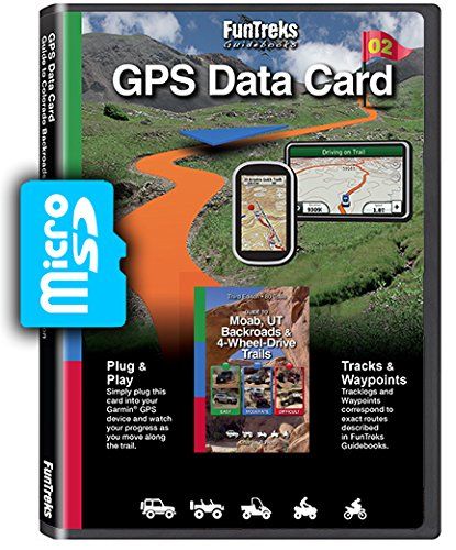
If it’s off-highway fun you seek, you’ve come to the right place. www.FunTreks.com data card covers 80 of the most beautiful trails in Moab, Utah. This data card contains tracks and waypoints that exactly match routes in the guidebook “Guide to Moab, UT Backroads & 4-Wheel-Drive Trails 3rd edition.” FunTreks data cards are designed to work with most hand-held Garmin® GPS devices that have a data card slot. They can also be used with other brands of GPS units, apps and computer programs that support “.gpx” format, such as Garmin BaseCamp® and Google Earth®. This data card contains tracks and waypoints that exactly match routes in our guidebooks. When you arrive at the trailhead, simply follow the highlighted route. Some GPS units, like the Garmin Nuvi®, also provide turn-by-turn directions to the trailhead. The Garmin Montana® and Oregon® will also give directions to the trailhead if loaded with optional City Navigator®. This data card is intended to be used along with the matching book. The book includes critical ancillary information not on the data card, including trail overview, trail rating, vehicle recommendation, trail stats, driving tips, mileage log, annotated map and photos of trail conditions. With or without the book, FunTreks, Inc. disclaims any and all liability for bodily injury, death or property damage that could occur to you or any of your passengers while using this data card. FunTreks is a small outdoor-fun-oriented company and we take pride in giving accurate trail info. For the past 18 years, we have been the leading guidebook publisher promoting offroad trails. We care a great deal about the environment and believe public lands can be enjoyed responsibly. Our books instruct and inform so you’ll know how to have fun the right way.
Product Features
- Tracklogs and waypoints exactly match routes in Guide Moab Backroads & 4-Wheel-Drive Trails 3rd Edition
- MicroSD card + Adapter
- See exactly where you are on the trial
- Universal GPX files included for use in other applications
- 80 of the best offroad trails located in Moab, Utah
Comments
Comments are disabled for this post.


worked well showing trails on trip to Moab, worked well showing trails on trip to Moab, without the book you don’t know what all the info screen tags are