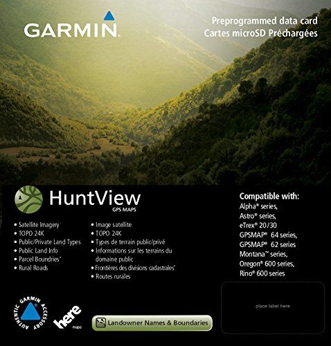
Featuring exclusive birdseye satellite imagery and 1: 24K scale topo mapping, these preloaded microSD cards offer a seamless hunting Map solution for Garmin handheld GPS devices. Map data is collected from Multiple sources, Providing full state-by-state coverage with routable road and trail data, landowner names and boundaries for public/private Land types and boundaries (blm, National wildlife refuges, National Parks, WPA, WMA), food/fuel locations and more. Included basecamp software lets you interface your computer with your handheld device to plan your hunt, transfer waypoints, and even keep a track log so you can return to the best hunting spots or share the adventure online.
Product Features
- Easy-to-use mapping solution for hunters and outdoorsmen -plug-in Micro SD card eliminates time-consuming downloads
- Identifies landowner names and boundaries for public/private land types and boundaries, using data from multiple sources for superior coverage and detail
- Digital topography equivalent to 1: 24, 000 scale U.S. Geological Survey maps
- Shows thousands of routable roads and trails with turn-by-turn navigation
- Includes searchable points of interest: parks, summits, geographic place names, camping areas, businesses, and more
Comments
Comments are disabled for this post.


I can’t say I liked it because it came to me defective I can’t say I liked it because it came to me defective. It would only show a bold border around properties, without any color designations of private property, no took, NOTHING that would help with a successful hunt. Very frustrating to see a huge buck and have to pass it up because I couldnt determine if it was legal! This happened a few times. I tried it in my garmin rino 650 and the screen wouldn’t even come on, like it was dead! On dumping it out of the 650, I believe I found the problem;…
Waste of $80 for mich no boundary lines public hunting not marked either Does not show any property lines and none of the state land in my area is marked either. Unlike what is advertised. I Live in southwest Michigan in highly populated area as well not like Iâm in the upper peninsula. Called garmin and they confirmed itâs not a software problem itâs just not covered! The exact thing this is marketed to do all over box and everywhere only applies to certain states! Spend the extra money buy on x maps. I can even see the half acre parcels in town and who owns them…
I am giving this a great review because we have others I am giving this a great review because we have others. I returned this one because the Garmin I wanted to use this in is not compatible. No fault of the Huntview Map Card. My mistake in ordering for an incompatible device.